Hurricane Irma: Southwest Florida could see historic flooding, up to 15 feet
 Joseph Cranney
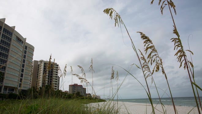
Historic flooding for Southwest Florida is possible along Hurricane Irma’s latest track — threatening life and property from downtown Naples south to Everglades City and coastal areas from Marco Island up to Fort Myers Beach.
Saturday’s projections from the National Hurricane Center show potential storm surge flooding greater than 9 feet above ground in Port Royal, Aqualane Shores and Royal Harbor. The same severe flooding could inundate Lely, parts of East Naples and Bonita Springs.
Coastal Collier and Lee counties could see flooding up to 15 feet, according to the latest local forecast from the National Weather Service. Virtually all of Southwest Florida has the potential to see at least 3 feet of flooding.
More:Collier residents seeking protection from Hurricane Irma frustrated by full shelters, lines
More:Hurricane Irma: No space left at Collier shelters, Temple Shalom opens doors
More:When will Hurricane Irma make landfall in Florida?
Three feet of flooding can float a car, said Jim Farrell, a WINK-TV meteorologist. Flooding up to 9 feet is life threatening, he said.
“If you’re a 5 foot person and you’ve got 9 feet of water in your house — then you’re standing on your kitchen counter,” Farrell said.
During storm surge, an unusual rise of saltwater in the Gulf moves with the hurricane. Storm surge flooding in Southwest Florida is expected to begin Monday, as Irma's counterclockwise spin moves north, pushing winds inland from the Gulf.
“Life-threatening inundation is possible,” National Weather Service forecasters said. “Failure to heed evacuation orders may result in serious injury, significant loss of life, or immense human suffering.”
Lee County could see devastating effects, Lee County Manager Roger Desjarlais said.
“There is going to be a tidal surge and flooding from this storm,” he said. “It is going to be a certainty. We are going to experience 10 to 15 feet of flooding, starting at the lowest lying areas and moving inland.
“People are going to be absolutely shocked and surprised when they see how much water 10 to 15 feet over land is,” he added. “That’s more than a single story.”
Irma weakened to a Category 3 storm Saturday but is expected to intensify as it heads toward South Florida. As of the 5 p.m. advisory from the National Hurricane Center, the storm was moving away from Cuba with maximum sustained winds of 125 mph.
Dan Summers, director of the Bureau of Emergency Services, said Collier County’s areas under the greatest threat of flooding have already been ordered to evacuate, including Lely Resort, which was evacuated at 2:45 p.m. Saturday.
“We know that’s what causes the most fatalities in a hurricane,” Summers said.
Naples Fire Chief Pete DiMaria said large parts of the city could see 8 to 15 feet of flooding.
“That could affect almost every structure of the city,” he said.

Like our work? Subscribe to the NAPLES DAILY NEWS.